

")


Hajj Terminal Inspection
Jeddah, KSA
Hajj Terminal Inspection
Jeddah, KSA
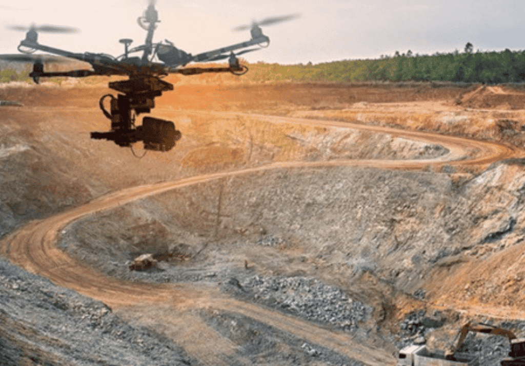
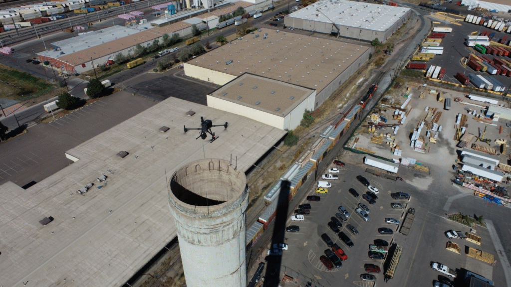
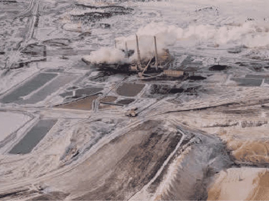
Minning project
USA
Minning project
USA
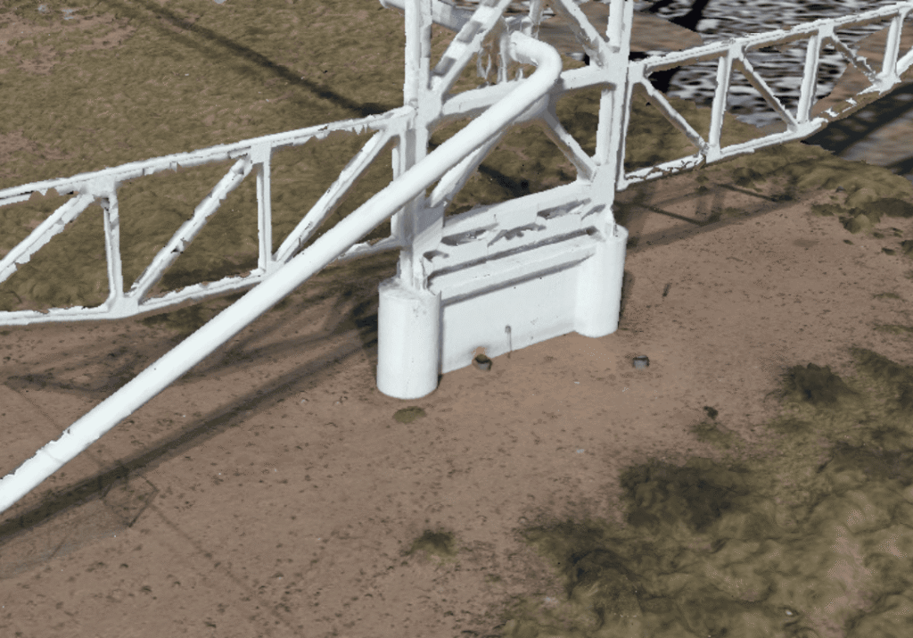
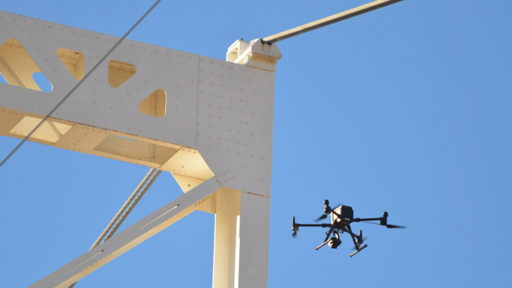
Oil Bridge Inspection
USA
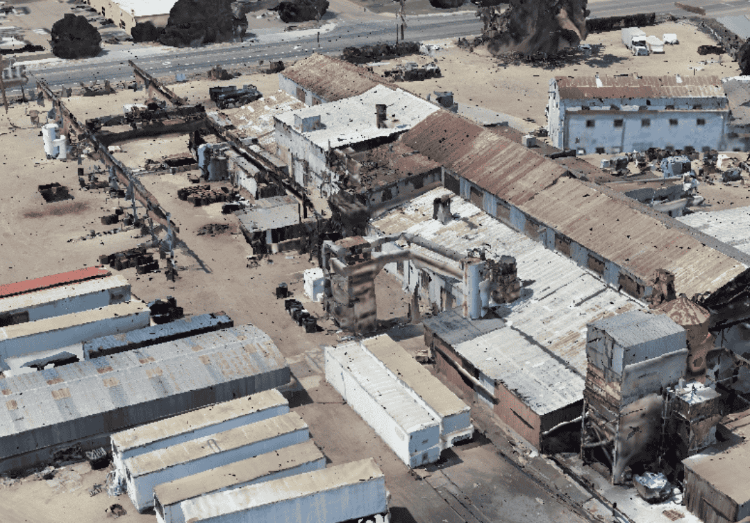
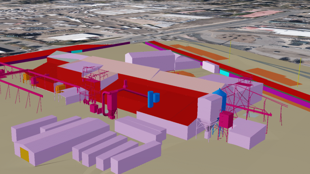
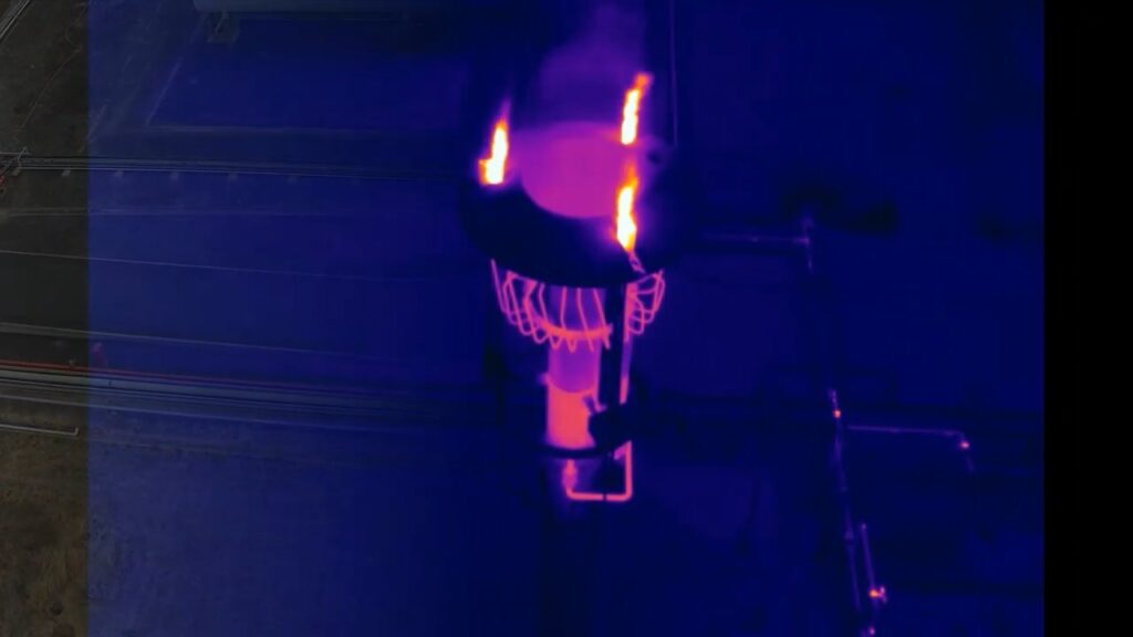
Western Foundry Project
For Factory
Western Foundry Project
For Factory
Photogrammetry Data Processing
Riyadh, KSA
Photogrammetry Data Processing
Riyadh, KSA
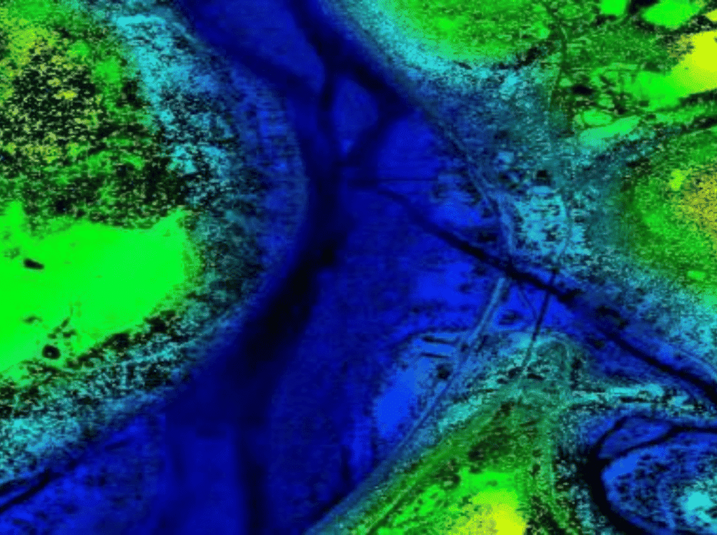
Lidar Project
Picos River
Lidar Project
Picos River