About Us
About Our Company
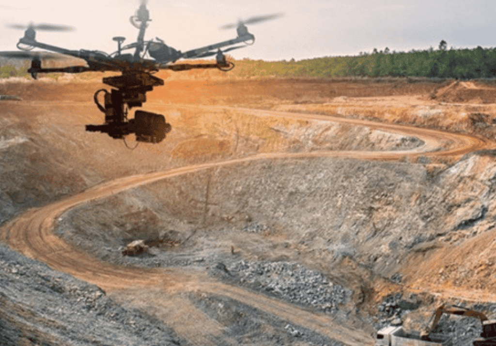
At Halkin Inc., we are transforming the landscape of asset management through cutting-edge drone inspection services, 3D mapping, and aerial data solutions. Our FAA-certified drone teams combine precision flight operations with the powerful capabilities of our proprietary SeraPoint® 3D platform to deliver accurate, fast, and safe results. Whether capturing real-time data for energy infrastructure, conducting agricultural mapping, or performing construction inspections, we help organizations gain clear, actionable insights from the air.
As a leader in drone-powered analytics, Halkin Inc. focuses on bridging the gap between advanced technology and practical field applications. We prioritize safety, efficiency, and reliability, ensuring that every drone mission provides measurable value and supports informed decision-making. Our aerial solutions reduce risk, lower costs, and eliminate the need for manual inspections in hazardous or hard-to-reach environments.
Beyond inspections and mapping, Halkin Inc. is dedicated to empowering professionals through drone training and education programs. Our FAA Part 107 preparation courses and data analysis workshops equip teams with the skills and knowledge to harness the full potential of aerial intelligence. With a commitment to innovation, accuracy, and client success, we continue to shape the future of drone technology—one flight at a time.
Our Projects
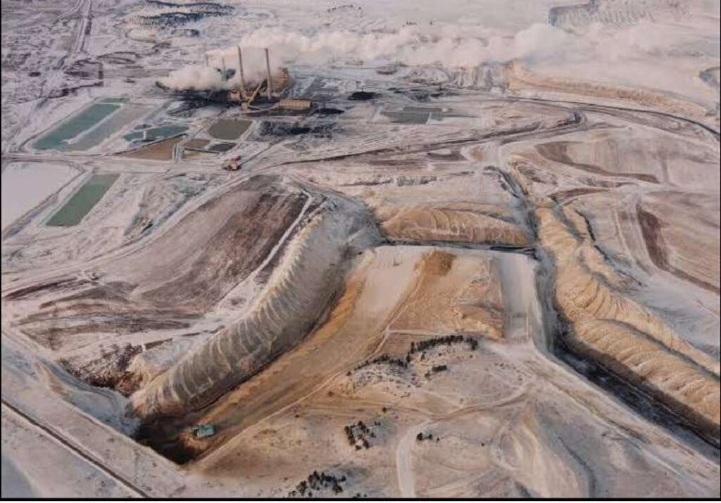
Photogrammetry Data Processing
Colorado
Photogrammetry Data Processing
Colorado

Hajj Terminal Inspection
Jeddah, KSA
Hajj Terminal Inspection
Jeddah, KSA
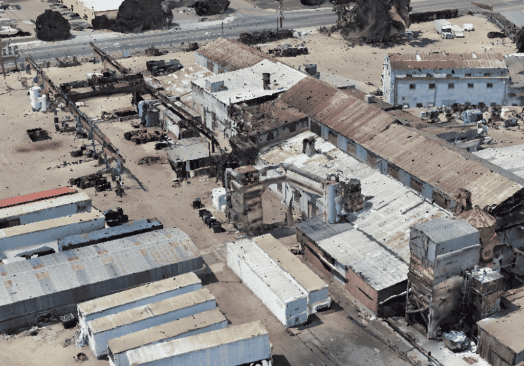
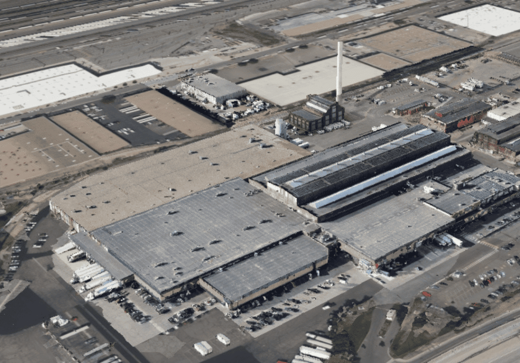
Western Foundry Project
Photogrammetry & GIS Applications
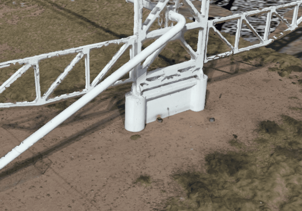
Pecos River Pipeline Bridge Inspection