Agricultural Analysis
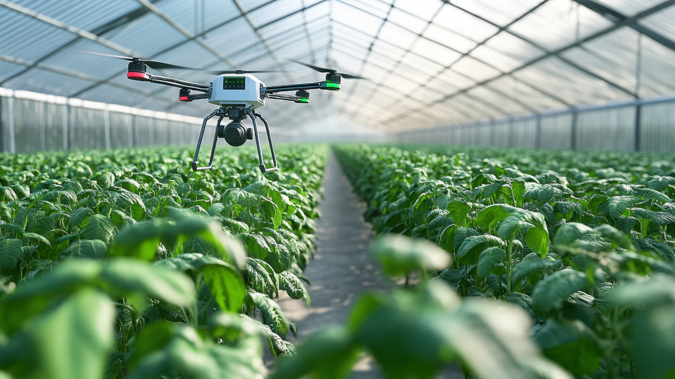
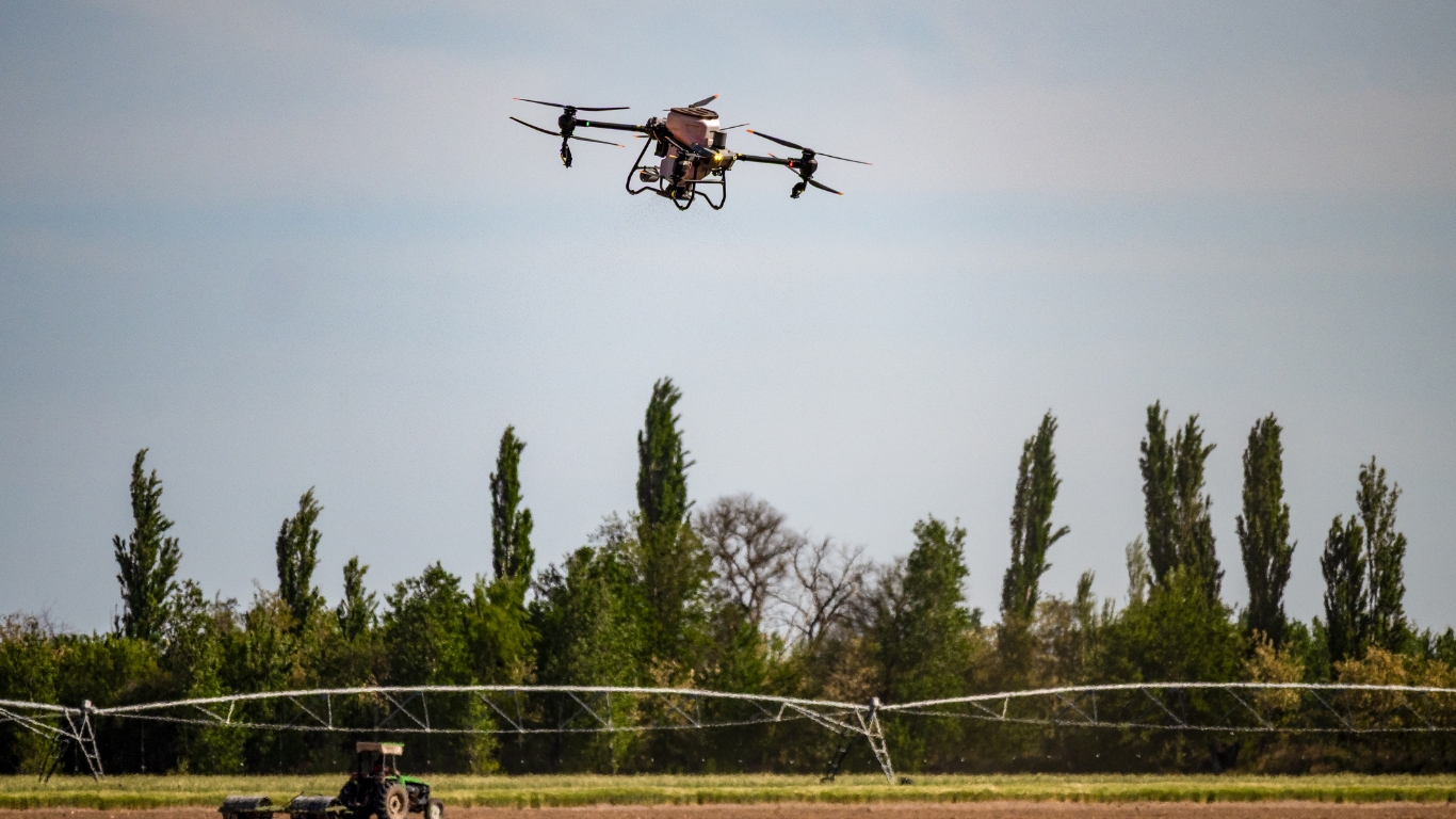
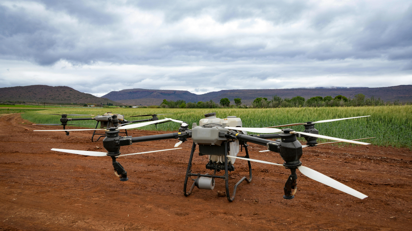
Halkin Inc uses state-of-the-art drone technology and intelligent/ automated data rendering with analytical software to improve all types of land/ crop management functions. We use RTK (Real Time Kinematics) with multispectral drone technology to identify and assess numerous agricultural issues within a few centimeters of the actual condition. Our in-house agricultural experts analyze the data and provide recommendations when necessary.
Key Applications

Crop Health Monitoring (NDVI, Thermal
Assess vegetation health using multispectral and thermal data.

Fertilization and Irrigation Optimization
Identify nutrient deficiencies and water stress zones.

Early Disease/Stress
Detection
Predict crop issues before they spread, reducing loss and input costs.
Reach out to get our services
From materials inspection to scale rendered mapping and land analysis, Halkin’s certified technicians and software engineers provide customers with concise and expedient reporting and training through a conjunct GIS software platform.
