
Education & Training
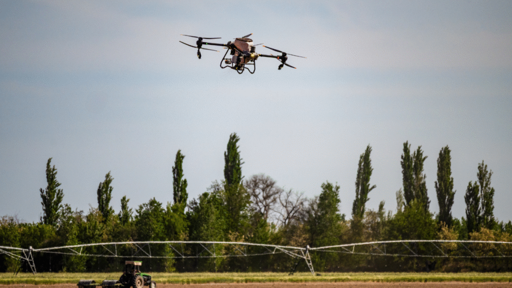
At Halkin Inc, we are committed to empowering professionals and students through specialized drone and geospatial technology education. Our training programs combine theory with practical, real-world applications to help you master modern surveying and mapping technologies. Our certified instructors provide drone educational course development and workforce training programs for private and public organizations and secondary / post-secondary schools,
Education & Training Includes
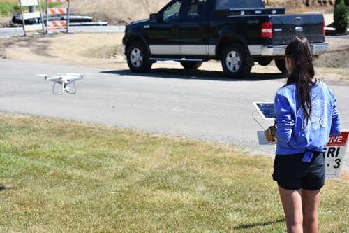
Education Training Workshops & Hands-On Manual Flight Training
Introductory Drone Course for our Educators
Entry-level course introducing UAV basics and integration in education.
Structured program covering all knowledge areas for FAA certification.
Practical flight skills development as complex maneuvers and field operations.
Comprehensive FAA Part 107 Remote Pilot Exam Preparation
Data/Image Rendering and Processing Training
Tools and methods for processing drone-captured imagery and data.
Drone Curriculum (Primary and Secondary Schools)
Drone Kits & Textbooks for students
Certificate of Completion (8 PD Hours)
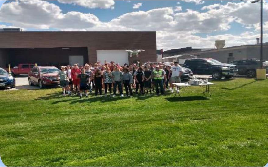
Supervised student experience in UAV operations and safety.
Age-appropriate, standards-aligned print resource.
Recognized professional development credit for educators.
Hand on Drone flight instruction
Durable, classroom-ready kits for students
Digital Curriculum + Lesson Templates (36 Contact Hours)
Turnkey teaching materials for one semester of instruction.
Access to a private forum for sharing strategies, troubleshooting, and updates.
Workforce Training
GIS Training for our enrolled students
Development and Implementation of Internal Drone Programs
Custom training packages to establish or scale in-house UAV operations.
Introduction to GIS principles and applications in drone operations.
Comprehensive FAA Part 107 Remote Pilot Exam Preparation
Professional certification pathway
Advanced, Hands-On Manual Flight Training
Workforce-targeted field and technical training.
Data/Image Rendering and Processing Training
Advanced tools for data analytics and interpretation.
Reach out to get our services
From materials inspection to scale rendered mapping and land analysis, Halkin’s certified technicians and software engineers provide customers with concise and expedient reporting and training through a conjunct GIS software platform.