Specialized Sensors & Services
Specialized Sensors & Services
While much of our work focuses on capturing imagery and Lidar data to create accurate 3D models of terrain and structures, Halkin Inc. also delivers a wide range of additional drone-based solutions. Our drones can carry various payloads, enabling us to support an extensive range of applications across multiple industries.
Our team of technical specialists brings decades of combined experience and a passion for solving complex challenges. If you’d like to explore a concept or test an idea, feel free to reach out — we’re always ready to discuss what you have in mind.
Our Experties
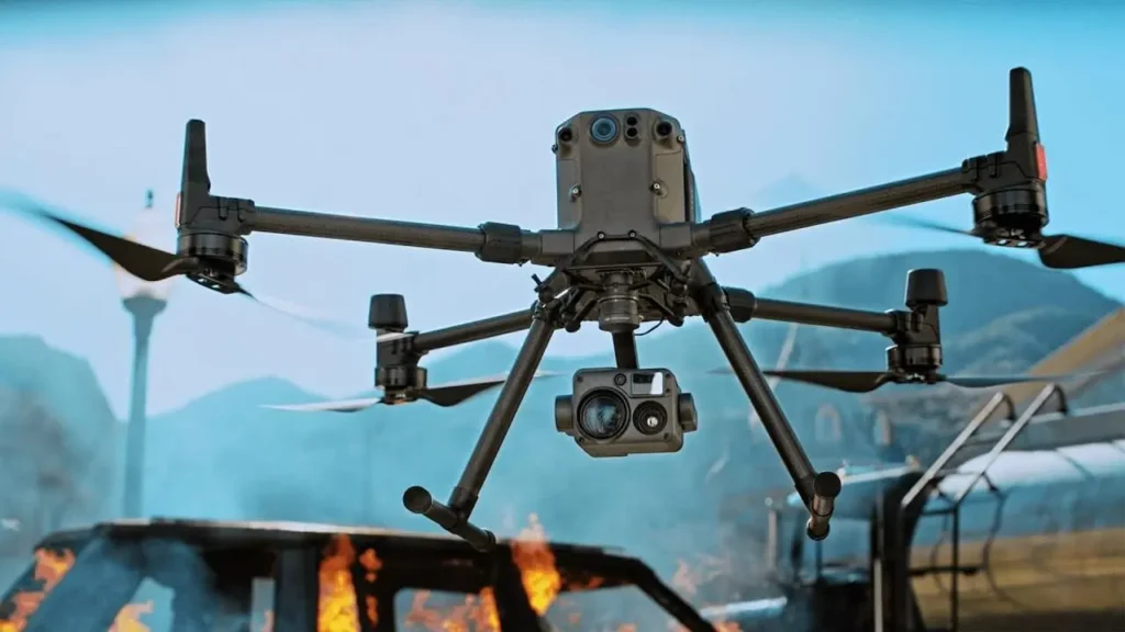
Thermal sensors for evaluating solar farm performance, building efficiency, and wildlife activity.
Multispectral, hyperspectral, and other advanced sensors for assessing vegetation health.
Gas detection and monitoring systems.
Ground-penetrating radar for subsurface analysis.
Gas detection and monitoring systems.
Water quality sampling tools.
Telecommunications repeater payloads.
Heavy-lift solutions for power line stringing
Reach out to get our services
From materials inspection to scale rendered mapping and land analysis, Halkin’s certified technicians and software engineers provide customers with concise and expedient reporting and training through a conjunct GIS software platform.